DJI
Surveying
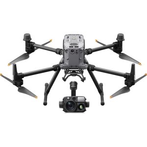
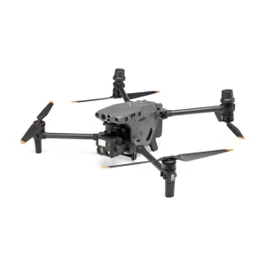
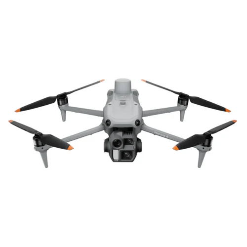
DJI Matrice 4 Enterprise Combo
$5,189.00
Enterprise multi-sensor drone with 49-min flight time, 1-inch CMOS sensor, triple tele cameras, RTK precision, O4 Enterprise transmission up to 25km range, AI-driven operations.
Key Features
49min Flight Time
1-inch CMOS
Triple Tele Cameras
RTK Precision
O4 Transmission 25km
3-axis Gimbal
IP54 Rating
DJI Matrice 4 Enterprise Combo - Cutting-Edge Multi-Sensor Drone
The DJI Matrice 4 Series is a cutting-edge multi-sensor drone lineup tailored for enterprise industries. The series features two models:
- Matrice 4T: Ideal for industries like electricity, emergency response, public safety, and forestry conservation
- Matrice 4E: Specially designed for geospatial tasks such as surveying, mapping, construction, and mining
Key Features
- Intelligent Operation Functions
- Excels in Low-Light Environments
- Clear Vision and Stable Image
- High-Efficient Precision Mapping
- Enhanced Flight Safety
- Comprehensive Accessory Upgrades
- AI-driven operations for safer and more reliable flight experiences
High Efficiency
- Extended flight time: Max 49 minutes (6 minutes longer than M3E with RTK)
- Multi-directional capture: 3-directional ortho capture and 5-directional oblique capture
- 40% productivity increase compared to conventional methods
- Max flight speed: 21 m/s
- Image capture interval: as short as 0.5 seconds
Precision Enhancement
- Advanced Distortion Correction 2.0
- In-camera precision with residual distortion under 2 pixels
- Factory-calibrated wide-angle cameras
- Superior reconstruction accuracy with DJI Terra
Applications
- Large-Scale Mapping: Surveying/mapping companies, planning organizations, government departments
- Small-Scale Building Modeling: Architectural heritage conservation, fire departments, digital archiving
- Asset Surface Inspection: Building maintenance, bridge inspection, power line inspection
SKU: CP.EN.00000574.SP