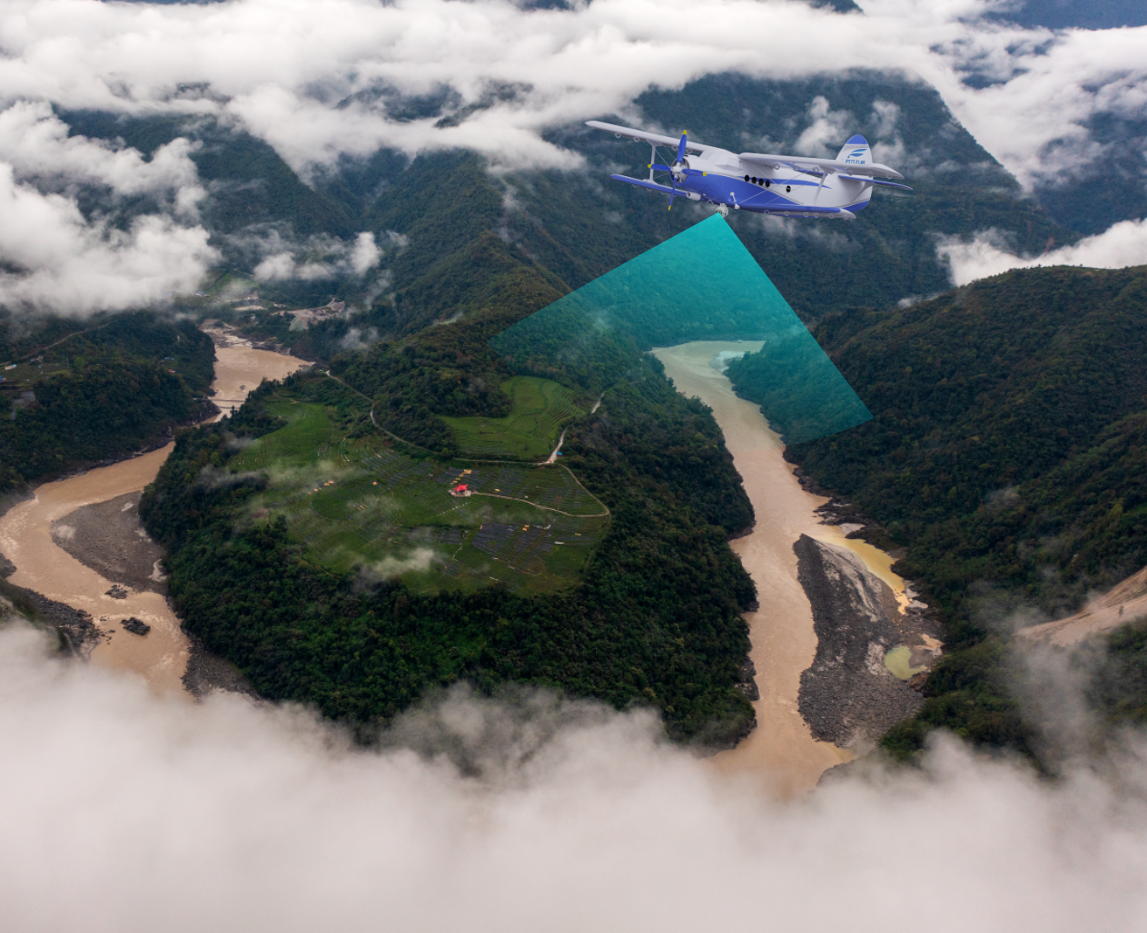
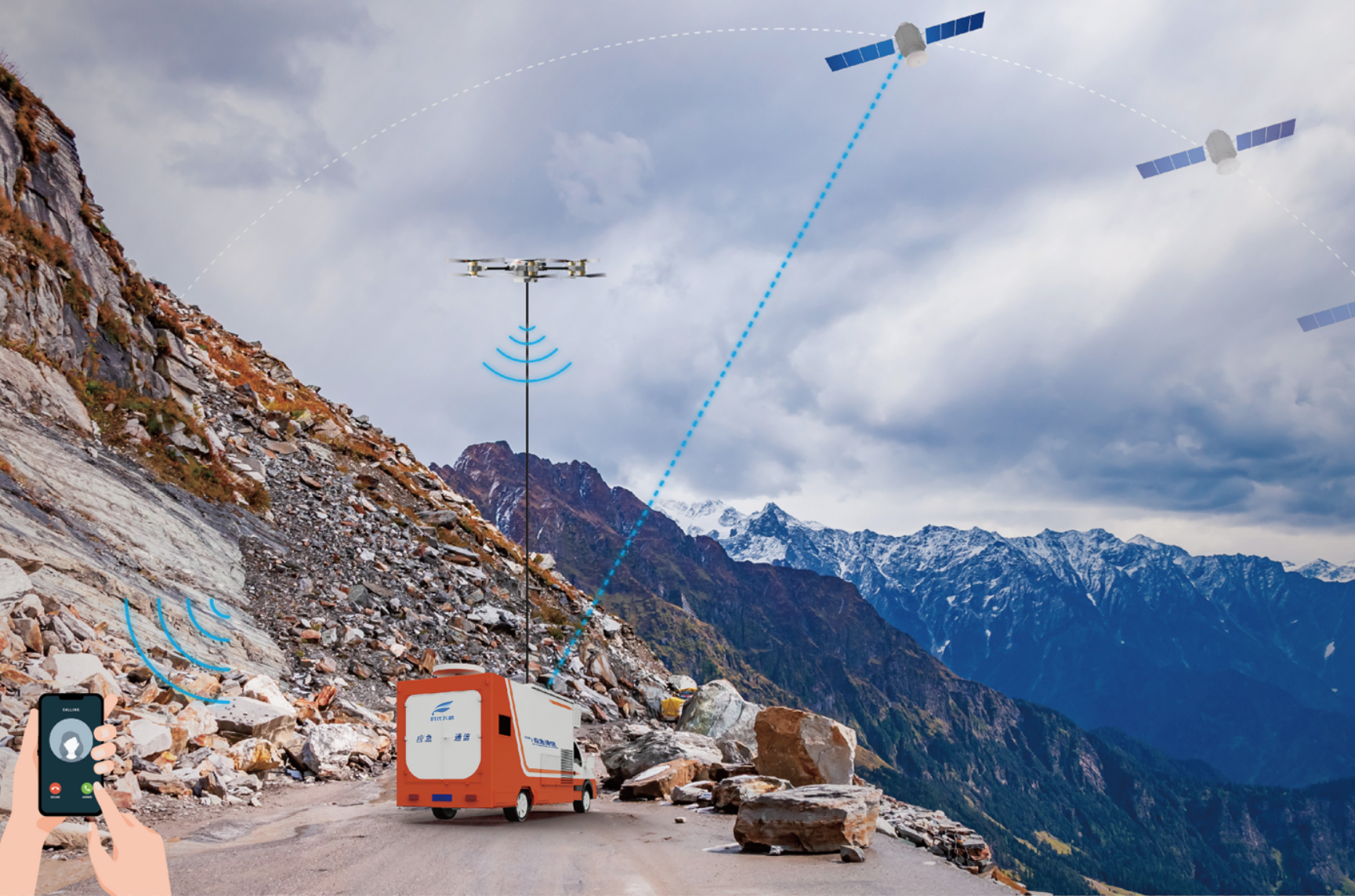
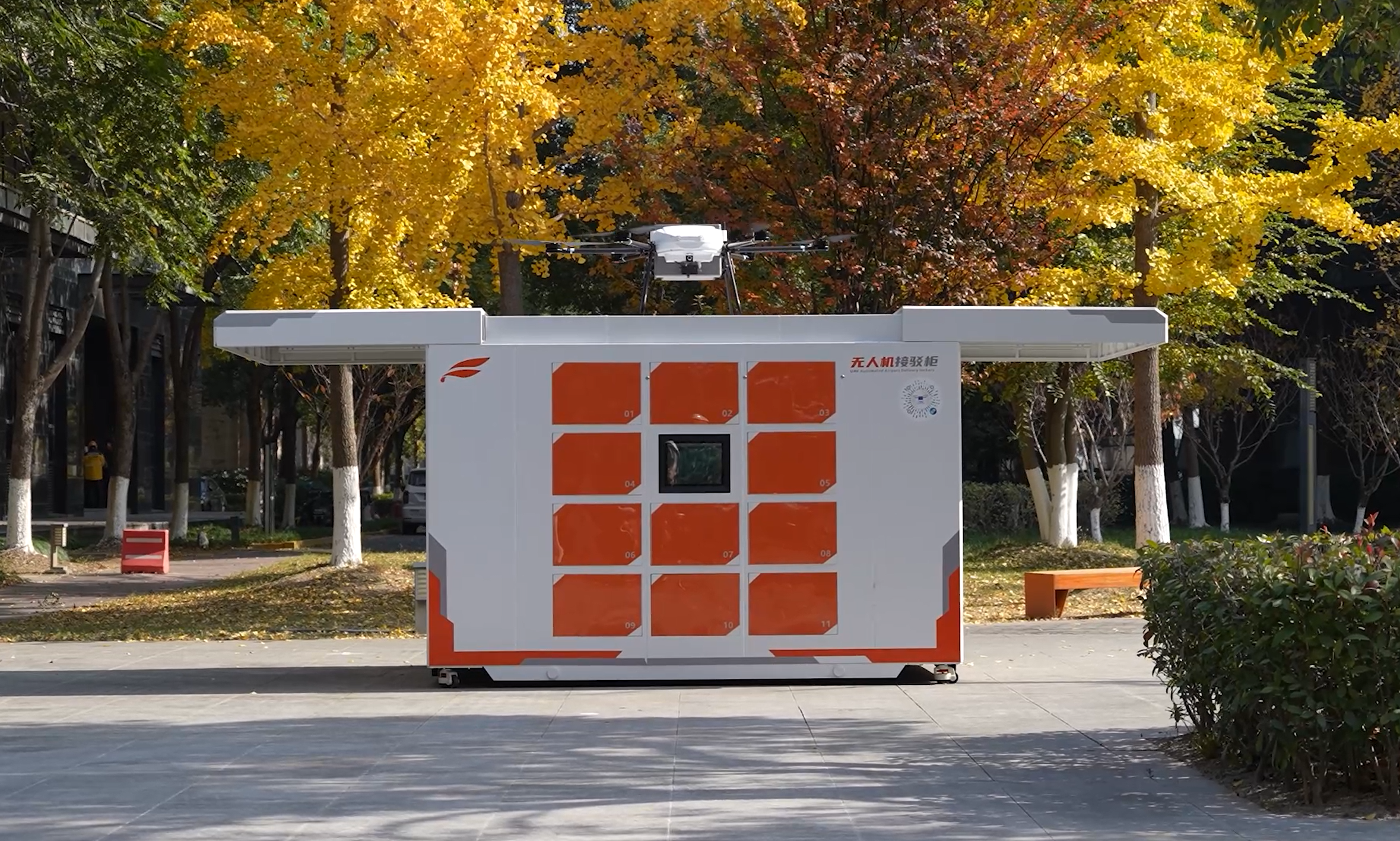
Tailored drone solutions for agriculture, surveying, emergency response, and logistics. Transform your operations with cutting-edge UAV technology.
Precision crop spraying, seeding, and crop health monitoring for modern farming.
Precision pesticide and fertilizer application with 50L capacity, covering 40 acres per hour.
Multispectral imaging to detect diseases, pests, and nutrient deficiencies early.
Automated seeding for rice, wheat, and fertilizer distribution with precision.
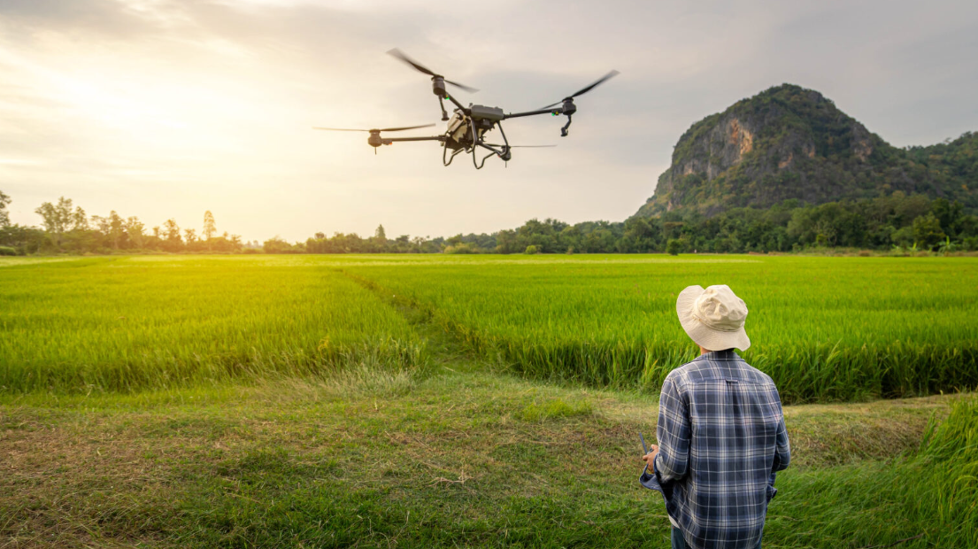
High-precision mapping, 3D modeling, and LiDAR surveying for construction and mining.
High-resolution orthomosaic maps with centimeter-level accuracy using RTK technology.
Photogrammetry and LiDAR scanning for detailed 3D terrain and structure models.
Accurate stockpile measurements and cut-fill analysis for mining and construction.
Search and rescue, fire monitoring, and disaster assessment with thermal imaging.
Thermal imaging for locating missing persons in challenging terrain, day or night.
Real-time fire tracking, hotspot detection, and safe perimeter assessment.
Rapid damage mapping and situational awareness for natural disasters.
Heavy-lift cargo delivery and automated supply chain solutions.
Bypass ground traffic with direct aerial delivery to remote or congested areas.
Temperature-controlled delivery of vaccines, blood, and emergency medical supplies.
Heavy-lift capabilities for construction materials and industrial equipment transport.
Our proven 5-step process ensures successful drone integration into your operations.
Understand your needs and recommend the best solution.
Custom implementation plan and regulatory compliance.
Equipment delivery, installation, and system setup.
Comprehensive operator training and certification.
Ongoing maintenance, updates, and 24/7 support.
Contact our solution experts for a customized drone implementation plan.