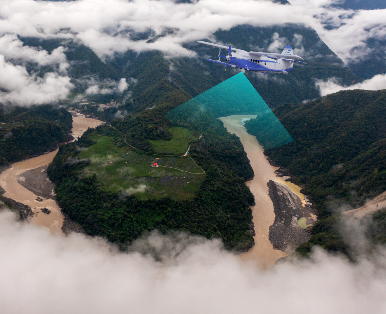
Mapping Imaging

The use of various types of unmanned aerial vehicle systems of Feipeng in the field of mapping mountains and hills, with the help of long-endurance unmanned aerial vehicles can carry tilt cameras, low altitude close-in shooting, quickly build regional three-dimensional maps.
Meteorological Sounding

The UAV platform can choose to be equipped with laser wind radar, cloud radar, airline meteorological instruments, flame bomb, flame bar and other devices to carry out unmanned aerial vehicle measurement of humidity, temperature, air pressure, wind speed, wind direction and meteorological factors, providing first-hand information for important weather processes and weather and climate regional observation, emergency support and meteorological disaster prevention and relief.
Test Loading

It provides flight tests such as dynamic accuracy measurement equipment, optical remote sensing and telemetry equipment, radar imaging equipment, meteorological instrument equipment, air delivery equipment, airborne data link system and reliability evaluation test.
Resource Exploration

The FP-981CH UAVs is equipped with intelligent sensing obstacle avoidance equipment, magnetic probe and gravimeter, which can carry out low-speed imitation flight and carry out underground mineral exploration.